Cookies on NWTC's Website
This website uses cookies to provide an enhanced user experience. By clicking 'Accept' or navigating the site, you consent to the use of cookies. Learn more in our
privacy policy
.
I Agree
Accept
Skip to content
Northeast Wisconsin Technical College
Utility
Enter search here
Submit
Translate
Student Login
Search
Mobile Menu
Main
Admissions & Aid
Get Started
Apply Now
Request Information
Paying for College
Transfer into NWTC
International Students
Complete a Test or Assessment
Academics & Training
Academics and Training Overview
Take a Class
Areas of Study
Programs and Degrees
Online Programs
Transfer to a 4-year
Get Started on your GED
Earn College Credit in High School
Student Experience
Student Experience Overview
Academic Coaching & Tutoring
Bookstore
Career Services
Disability Services
Library
Student Help Resources
Student Involvement
Business & Industry
Business and Industry Resources
Workforce Training
Customized Training and Technical Assistance
Employment and Certification Testing
Conference and Meeting Facilities
About NWTC
NWTC Overview
Academic Calendar
Leadership and Administration
Locations
Newsroom
NWTC Foundation
Be an Active Alumni
Talent and Culture
Mobile
Enter search here...
Submit
Admissions & Aid
Get Started
Apply Now
Request Information
Paying for College
Transfer into NWTC
International Students
Complete a Test or Assessment
Academics & Training
Academics and Training Overview
Take a Class
Areas of Study
Programs and Degrees
Online Programs
Transfer to a 4-year
Get Started on your GED
Earn College Credit in High School
Student Experience
Student Experience Overview
Academic Coaching & Tutoring
Bookstore
Career Services
Disability Services
Library
Student Help Resources
Student Involvement
Business & Industry
Business and Industry Resources
Workforce Training
Customized Training and Technical Assistance
Employment and Certification Testing
Conference and Meeting Facilities
About NWTC
NWTC Overview
Academic Calendar
Leadership and Administration
Locations
Newsroom
NWTC Foundation
Be an Active Alumni
Talent and Culture
Student Login
Translate
404
Page Not Found
Home
»
404
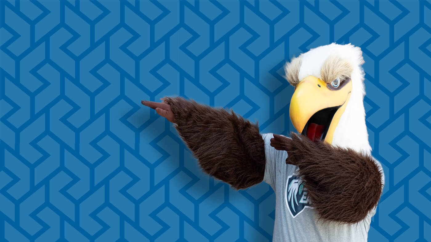
If you want to fly, give up everything that weighs you down.
...like this page. It is broken. Search for a new one:
Enter search here...
Search
Close
Close
Loading